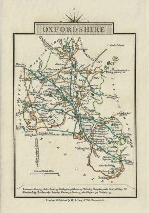
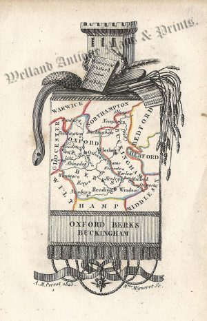
An attractive, detailed and rare early 19th century map of Oxfordshire which was engraved by Gardner and published in Smith’s New English Atlas (London:1828). Charles Smith (fl. 1800-1852) was an eminent 19th century map maker and seller who produced some of the finest maps during the period in which Britain led the world in cartography.
- This is an original copperplate engraving with original hand colour.
- Printed area is approximately 18.4cms by 25.9cms (including imprint).
- The map is in very good condition with decent margins. Click on image for a better view.
- The item comes displayed in a ready to frame acid free mount.
- Click on ‘Delivery Policy’ for postage costs.
- Guaranteed to be over 190 years old.