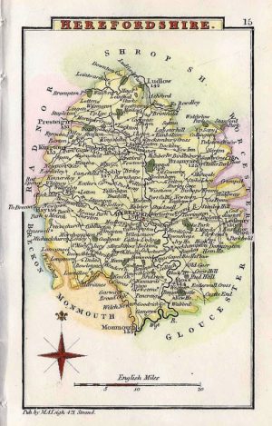
An interesting late Victorian county map of Herefordshire which was drawn by John Bartholomew and published in Philips’ Handy Atlas of the Counties of England (London & Liverpool: George Philip & Son, 1876). A notable feature is the depiction of the extensive railway network running through the county.
- This is an original 19th century chromolithograph.
- Printed area is approximately 15.6cms by 21cms (including imprint).
- The map is in very good condition with decent margins; centrefold, as issued. Click on image for a better view.
- The item comes displayed in a ready to frame acid free mount.
- Click on ‘Delivery Policy’ for postage costs.
- Guaranteed to be over 140 years old.