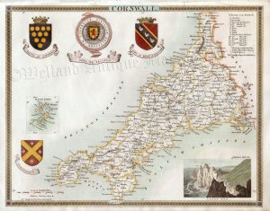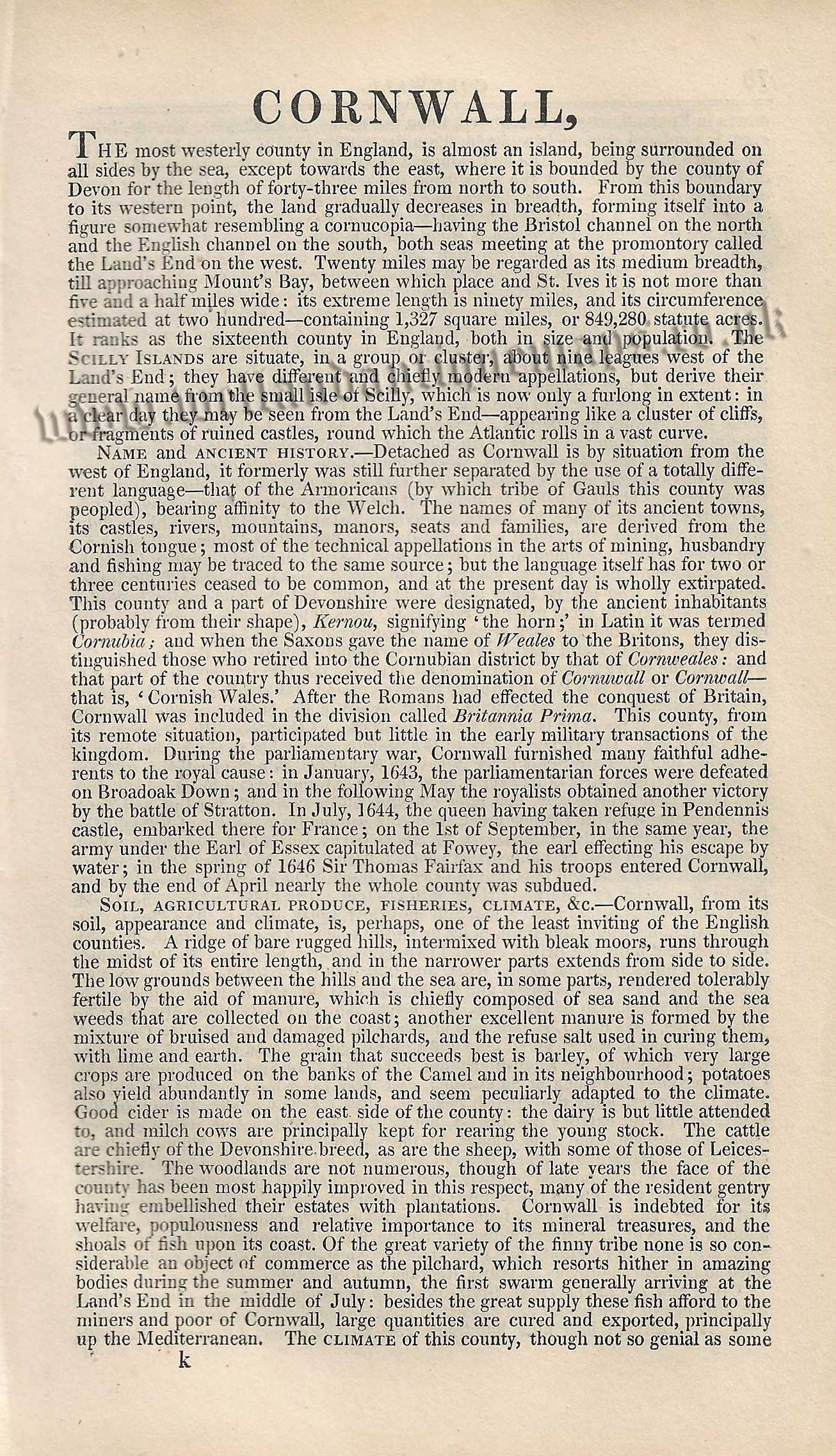
An attractive and detailed mid 19th century map and triangular distance table of Gloucestershire — with a vignette of Gloucester Cathedral — which was published by Pigot & co. in A Pocket Topography and Gazeteer of England (London & Manchester: 1841). The original pages of text and distance table which accompany the map are included in the purchase.
- This is an original steel plate engraving with fine original hand colour.
- Printed area 1s approximately 16.3cms and 10.8cms (map only).
- The map, distance table and text are in very good condition. The top border of the map is close but still mountable. Click on image for better view.
- Click on ‘Delivery Policy’ for postage costs
- Guaranteed to be over 175 years old.