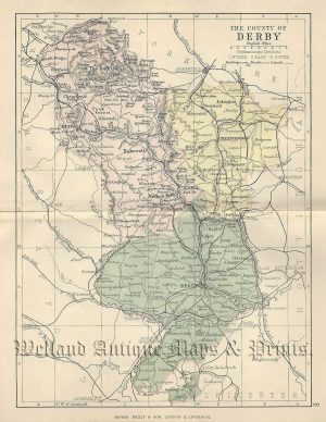
A finely engraved and attractive 18th Century map of Cumberland which appeared in Thomas Kitchin’s England Illustrated (London: J. Dodsley, 1764). Thomas Kitchin (1718-1784) was one of the most prolific and renowned cartographers of the time producing many fine atlases and maps.
- This is an original copperplate engraving with original hand colour.
- Printed area is approximately 19.5cms by 25.6cms.
- The map is in very good condition with decent margins. Click on image for a better view.
- The item comes displayed in a ready to frame museum quality mount board.
- Click on ‘Delivery Policy’ for postage costs.
- Guaranteed to be over 250 years old.
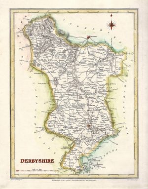

!['DARBYSHIRE' [Derbyshire] by Robert Morden c.1730](https://www.wellandantiquemaps.co.uk/wp-content/uploads/2023/01/Derbyshire-Morden-07-copy-300x252.jpg)