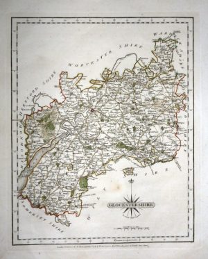
An interesting and detailed early 19th century miniature map of Gloucestershire which was engraved by James Wallis and published in the pocket road atlas, Martin’s New Traveller’s Guide (London: P. Martin, 1816-1819).
- This is an original copperplate engraving with original hand colour
- Printed area is approximately 9.3cms by 13.4cms
- The map is in very good condition with adequate margins. Click on image for a better view.
- The item comes displayed in a ready to frame acid free mount.
- Click on ‘Delivery Policy’ for postage costs.
- Guaranteed to be over 200 years old.