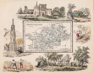
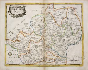
An interesting 19th century map of Hertfordshire with emphasis on the railways and coach roads which was published in John Heywood’s The Travelling Atlas of England & Wales … the Whole Carefully Revised and Corrected (London: H. G. Collins, 1849-1850).
- This is an original Lithographic transfer with original hand colour.
- Printed area is approximately 18.7cms by 14.7cms.
- The map is in very good condition with decent margins. Click on image for a better view.
- The item comes displayed in a ready to frame acid fee mount.
- Click on ‘Delivery Policy’ for postage costs.
- Guaranteed to be over 150 years old.