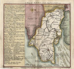
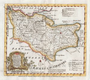
An attractive and detailed 19th century map of Kent — with a vignette view of Canterbury Cathedral & St. Augustine’s Gate — which was engraved by R. Scott and published by Archibald Fullarton & co. in The Parliamentary Gazetteer of England and Wales (London: Edinburgh & Glasgow: 1843-1849). An interesting feature of maps from this period is the depiction of the newly constructed (or proposed) railways).
- This is an original steel engraving with later hand colour.
- Printed area is approximately 24cms by 19cms.
- The map is in very good condition with decent margins; centrefold, as issued. Click on image for a better view.
- The item comes displayed in a ready to frame museum quality mount.
- Click on ‘Delivery Policy’ for postage costs.
- Guaranteed to be over 170 years old.