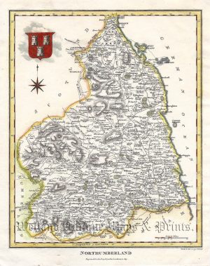
A detailed and attractive late 19th century county map of Northumberland which was published in George W. Bacon’s Commercial And Library Atlas of the British Isles From The Ordnance Survey (London: G. W. Bacon & Co., 1895).
- This is an original late 19th century chromolithograph.
- Printed area is approximately 33.8cms by 47.5cms.
- The map is in very good condition with decent margins; centrefold, as issued. Click on image for a better view.
- Click on ‘Delivery Policy’ for postage costs.
- Guaranteed to be over 100 years old.