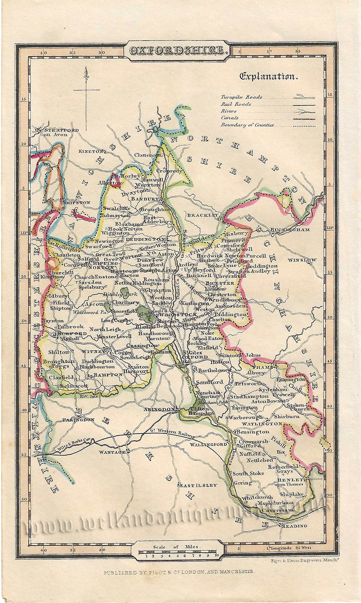
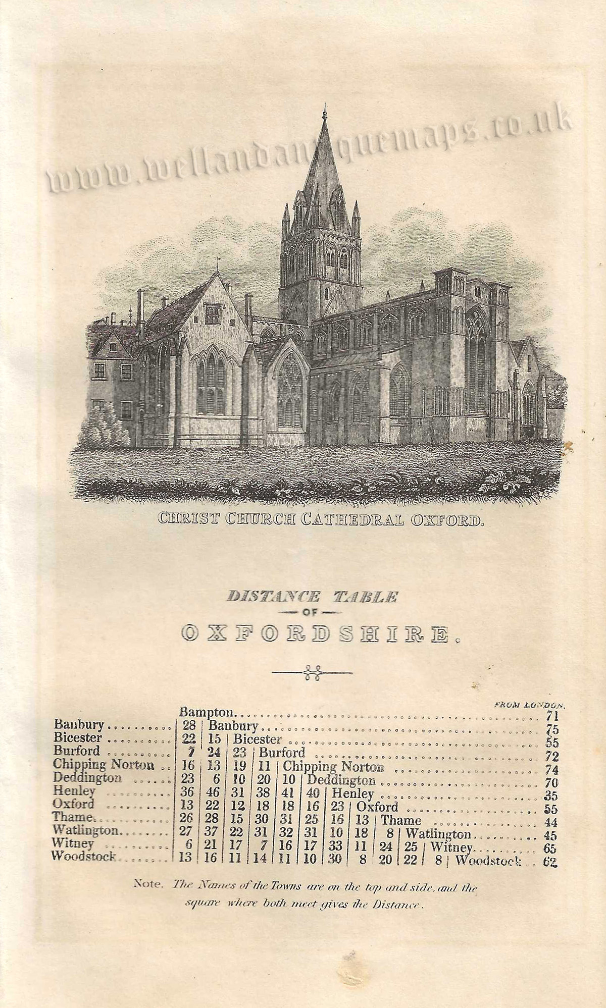
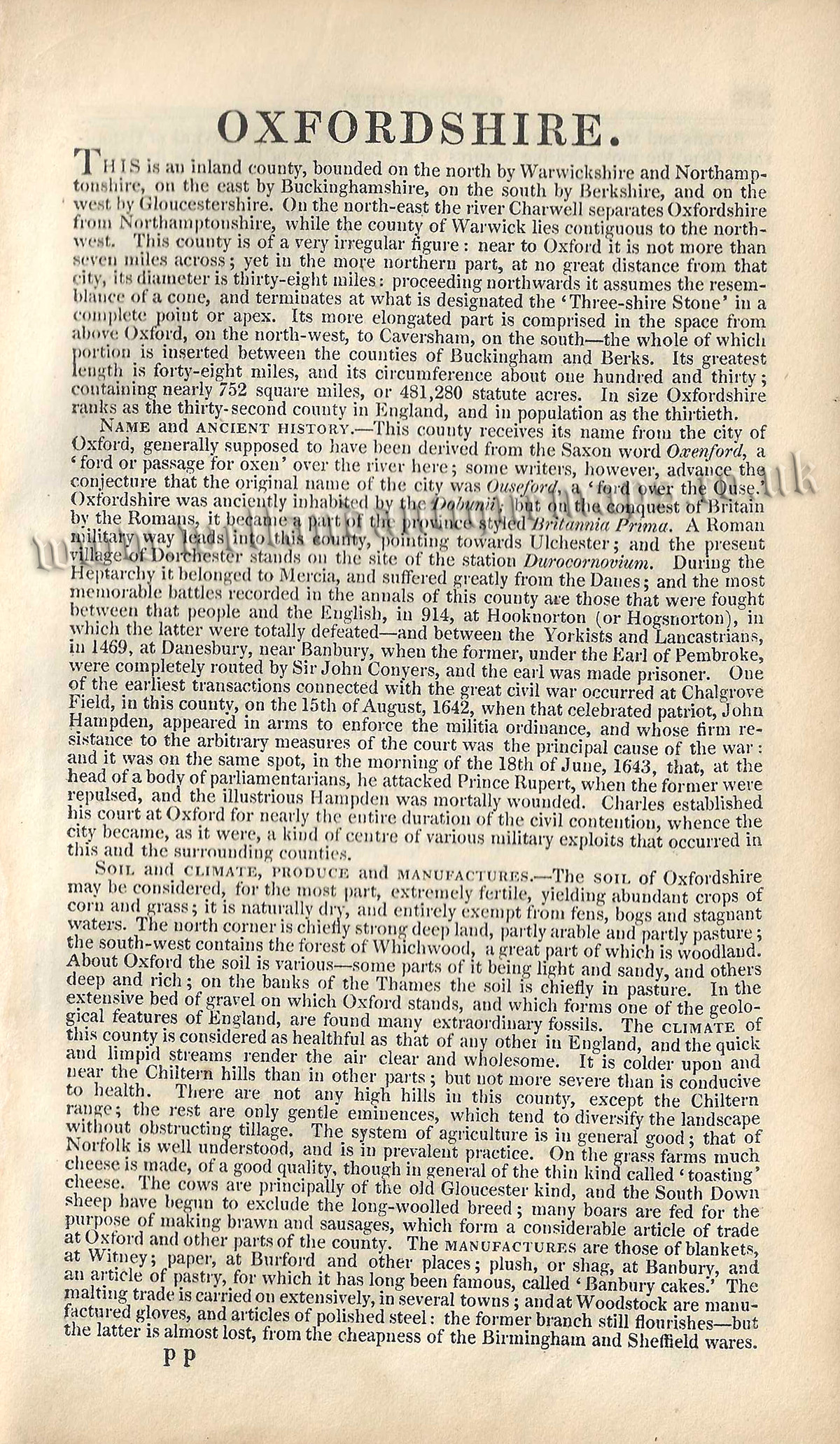
An attractive and detailed mid 19th century miniature map and triangular distance table (with a vignette of Christchurch Cathedral) of Oxfordshire which was published by Pigot & co. in A Pocket Topography and Gazetteer of England (London & Manchester: Pigot & co., 1841). The original pages of text which accompany the map and table are included in the purchase.
- This is an original steel plate engraving with fine original hand colour.
- Printed areas are approximately 10.5cms by 17.4cms for the map and 9.6cms by 15.3cms for the distance table (with vignette).
- The map and distance table are both in very good condition with decent margins. Click on image for better view.
- Click on ‘Delivery Policy’ for postage costs
- Guaranteed to be over 175 years old.