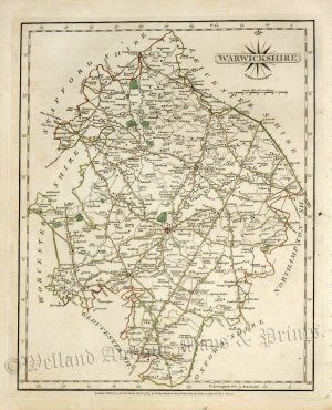
A detailed and attractive 19th Century map of Warwickshire which was drawn and engraved by R. Creighton and T. Starling, respectively, and published in Samuel Lewis’s Topographical Dictionary of England and Wales (London: S. Lewis, 1842).
- This is an original steel engraving with original hand colour.
- Printed area is approximately 17.6cms by 23.6cms (including imprint).
- The map is in very good condition with decent margins. Click on image for a better view.
- Click on ‘Delivery Policy’ for postage costs.
- Guaranteed to be over 175 years old.