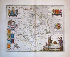
An attractive, detailed and finely engraved 19th century map of Huntingdonshire which was published in A New British Atlas, Containing a complete Set of County Maps (London: Henry Teesdale & Co., 1830-1832). The maps from this series were originally published and probably drawn and engraved by Robert Rowe in 1813.
- This is an original copperplate engraving with fine original hand colour.
- Printed area is approximately 34.2cms by 42cms (including imprint).
- The map is in very good condition with decent margins; central fold, as issued. Click on image for a better view.
- Click on ‘Delivery Policy’ for postage costs.
- Guaranteed to be over 175 years old.