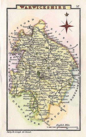
An attractive and neatly engraved 18th century map of Warwickshire which was engraved by Thomas Kitchin and published in Henry Boswell’s Antiquities of England & Wales* (London: A. Hogg, 1786-1798). Thomas Kitchin was one of the most eminent and prolific cartographers in the 18th Century producing many fine maps and atlases.
*First published in the London Magazine in 1750.
- This is an original copperplate engraving with later hand colour.
- Printed area is approximately 16.5cms by 21.5cms.
- The map is in very good condition with excellent margins. Click on image for a better view.
- The item comes displayed in a ready to frame museum quality mount.
- Click on ‘Delivery Policy’ for postage costs.
- Guaranteed to be over 200 years old.