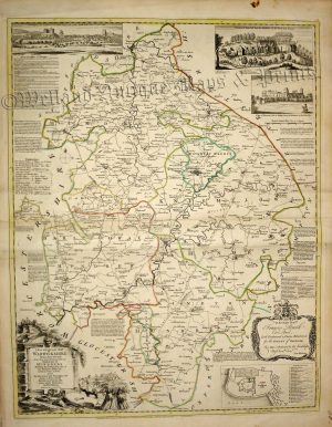
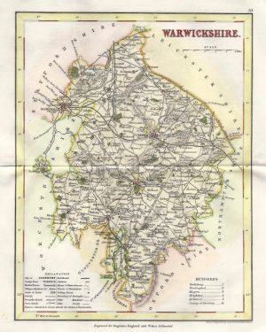
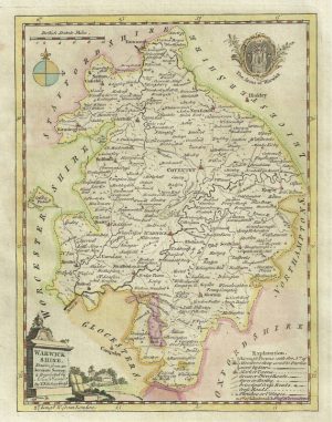
A detailed and attractive early 19th Century map of Warwickshire, with fine original hand colour, which was drawn and engraved by G. Cole & J. Roper respectively and published in The British Atlas (London: Vernor, Hood & Sharpe, 1807-1810).
- This is an original copperplate engraving with original hand colour.
- Printed area is approximately 17.5cms by 23.8cms (including imprint).
- The map is in very good condition with decent margins. Click on image for a better view.
- The item comes displayed in a ready to frame acid free mount.
- Click on ‘Delivery Policy’ for postage costs.
- Guaranteed to be over 200 years old.