

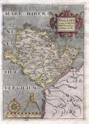
A very attractive 18th century map of Anglesey which was finely engraved by Thomas Kitchin and published in the London Magazine (London: R. Baldwin, Vol. 25, Nov. 1756). Thomas Kitchin (1718-1784) was one of the most eminent and prolific cartographers in the 18th Century producing many fine maps.
- This is an original copperplate engraving with later hand colour.
- Printed area is approximately 21.4cms by 17.2cms.
- The map is in very good condition with decent margins; folds, as issued. Click on image for a better view.
- The item comes displayed in a ready to frame museum quality mount.
- Click on ‘Delivery Policy’ for postage costs.
- Guaranteed to be over 250 years old.

![‘ANGLESEA’ [Anglesey] by G. Cole & J. Roper c.1809 / 1810 (with full wash colour)](https://www.wellandantiquemaps.co.uk/wp-content/uploads/2025/12/Anglesey-Cole-Roper-05-ed-300x226.jpg)