A detailed and interesting 19th century map of Anglsey (Welsh: Ynys Mon) which was drawn and engraved by Joshua Archer and published in Tallis’s The Topographical Dictionary of England & Wales (London: Tallis, 1855). A notable feature of maps of this period is the depiction of the recently constructed (or proposed) railways.
- This is an original engraving / lithographic transfer with original hand colour.
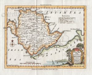
- Printed area is approximately 23.5cms by 18.3cms
- The map is in very good condition with decent margins; centrefold, as issued. Click on image for a better view.
- The item comes displayed in a ready to frame acid free mount board.
- Click on ‘Delivery Policy’ for postage costs.
- Guaranteed to be over 150 years old.
![‘ANGLESEA’ [Anglesey] by G. Cole & J. Roper c.1809 / 1810 (with full wash colour)](https://www.wellandantiquemaps.co.uk/wp-content/uploads/2025/12/Anglesey-Cole-Roper-05-ed-300x226.jpg)