
!['CARDIGANSHIRE' [Ceredigon] by J. Archer / T. Dugdale c.1860](https://www.wellandantiquemaps.co.uk/wp-content/uploads/2023/01/Cardiganshire-Archer-02-001-copy-scaled.jpg)
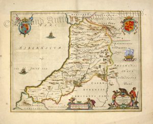
An attractive and detailed mid 19th century map of Cardiganshire (now Ceredigion) which was drawn and engraved by Joshua Archer and published in Thomas Dugdale’s Curiosities of Great Britain. England and Wales Delineated (London: L. Tallis, 1860).
- This is an original steel engraving with original hand colour.
- Printed area is approximately 23.1cms by 18.6cms.
- The map is in very good condition with decent margins. Click on image for a better view.
- The item comes displayed in a ready to frame acid free mount.
- Click on ‘Delivery Policy’ for postage costs.
- Guaranteed to be over 160 years old.

!['CARDIGANSHIRE' [Ceredigon] by J. Archer / T. Dugdale c.1842](https://www.wellandantiquemaps.co.uk/wp-content/uploads/2023/01/card-archer-copy-300x242.jpg)