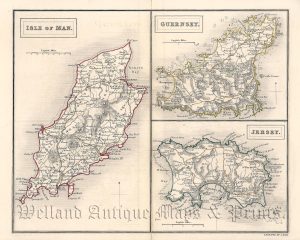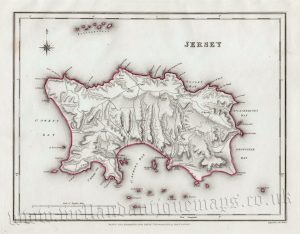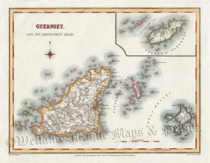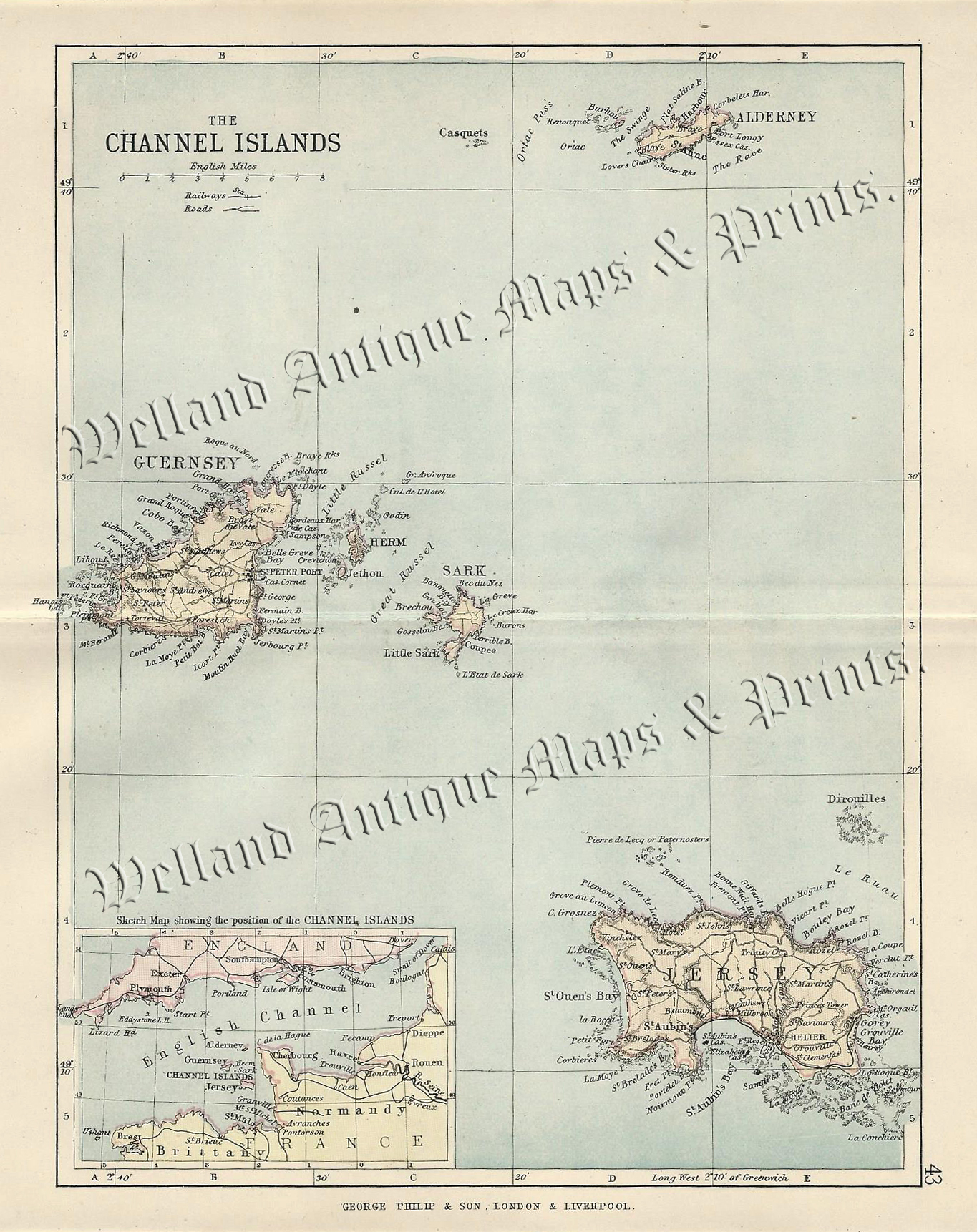
An interesting late Victorian map of the Channel Islands — including Guernsey, Jersey, Alderney, Sark, Herm and an inset plan of the English Channel — which was drawn by John Bartholomew and published in Philips’ Handy Atlas of the Counties of England (London & Liverpool: George Philip & Son, 1882).
- This is an original 19th century chromolithograph.
- Printed area is approximately 16.1cms by 20.8cms (including imprint).
- The map is in very good condition with adequate margins; centrefolded, as issued. Click on image for a better view.
- The item comes displayed in a ready to frame acid free mount.
- Click on ‘Delivery Policy’ for postage costs.
- Guaranteed to be over 130 years old.