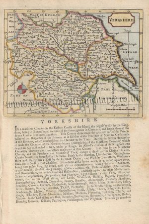
A decorative, rare and unusual 19th Century map of Yorkshire which appeared in G. B. Depping’s L’Angleterre. Ou Description Historique et Topographique Du Royaume Royaume Uni De La Grande-Bretagne (Paris: 1824-1835). Drawn by Aristade Perrot and engraved by Adrien Migneret, the maps from this series are distinct for their decorative surrounds relating to the county/counties’ commercial activities, culture and heritage.
- This is an original copperplate engraving with original hand colour.
- Printed area is approximately 6.7cms by 10.8cms.
- The map is in very good condition with decent margins. Minor stains. Click on image for a better view.
- The item comes displayed in a ready to frame acid free mount.
- Click on ‘Delivery Policy’ for postage costs.
- Guaranteed to be over 175 years old.