

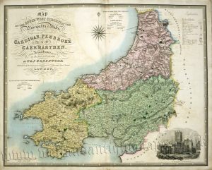
A detailed and attractive early 19th Century map of Cardiganshire (Welsh: Sir Ceredigion) which was drawn and engraved by G. Cole & J. Roper, respectively, and published in The British Atlas (London: Vernor, Hood & Sharpe, 1809-1810).
- This is an original copperplate engraving with fine original hand colour.
- Printed area is approximately 23.8cms by 19.5cms.
- The map is in very good condition with decent margins. Click on image for a better view.
- The item comes displayed in a ready to frame acid free mount.
- Click on ‘Delivery Policy’ for postage costs.
- Guaranteed to be over 200 years old.


!['CARDIGANSHIRE' [Ceredigon] by J. Archer / T. Dugdale c.1860](https://www.wellandantiquemaps.co.uk/wp-content/uploads/2023/01/Cardiganshire-Archer-02-001-copy-300x243.jpg)