North Riding Maps
Original Antique Maps of the North Riding from the 17th to 19th Century.
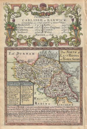
“‘THE NORTH RIDING OF YORKSHIRE’ by Robert Morden c.1722” has been added to your basket. View basket
-
‘A New MAP of the NORTH RIDING of YORK SHIRE, Drawn from the best Authorities’ by Thomas Kitchin c.1764
£95.00 Add to basketAdd to WishlistAdd to Wishlist -
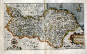
‘DUCATUS EBORACENSIS PARS BOREALIS – THE NORTH RIDING OF YORK SHIRE.’ by Joan Blaeu c.1645 (Latin Text Edition)
£475.00 Add to basketAdd to WishlistAdd to Wishlist -
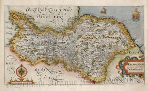
‘EBORACENCIS Comitatus Yorkshire pars Septentrionalis Vulgo NORTH RIDING’ by Saxton / Hole c.1610/1637
£295.00 Add to basketAdd to WishlistAdd to Wishlist -
‘EBORACENCIS Comitatus Yorkshire pars Septentrionalis Vulgo NORTH RIDING’ by Saxton / Hole c.1637 (on good paper)
£325.00 Add to basketAdd to WishlistAdd to Wishlist -
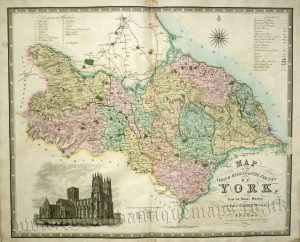
‘MAP of the NORTH RIDING OF THE COUNTY OF YORK, from an Actual Survey’ by C. & J. Greenwood c.1834
£250.00 Add to basketAdd to WishlistAdd to Wishlist -
‘North Riding of YORKSHIRE By JOHN CARY Engraver’ c.1818 (New & Correct English Atlas)
£65.00 Add to basketAdd to WishlistAdd to Wishlist -
‘North Riding of YORKSHIRE’ by John Cary c.1787/1788 (New & Correct English Atlas)
£60.00 Add to basketAdd to WishlistAdd to Wishlist -
Add to WishlistAdd to Wishlist
-
Add to WishlistAdd to Wishlist
-
Add to WishlistAdd to Wishlist
-
Add to WishlistAdd to Wishlist
-
Add to WishlistAdd to Wishlist
-
Add to WishlistAdd to Wishlist
-
Plate 59: Cumberland / Durham / Westmorland / North Yorkshire by J. Cary c.1794
£36.00 Add to basketAdd to WishlistAdd to Wishlist -
Add to WishlistAdd to Wishlist


