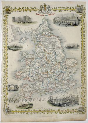
England & Wales Maps
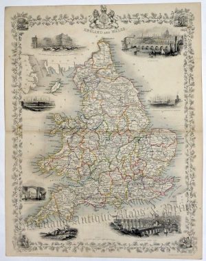
Original Antique maps of England & Wales (General & Regional)
For County Maps, click ‘County Maps‘ in the left panel.
-
‘A CHART Showing the SEA COAST of ENGLAND & WALES, with ye Fortifications Royal Docks, Harbours, Sands &c’ by T. Badeslade / W. H. Toms c.1742
£46.00 Add to basketAdd to WishlistAdd to Wishlist -
‘A Comparative View of some of the PRINCIPAL HILLS in GREAT BRITAIN’ by Thomas Moule c.1840s
£95.00 Add to basketAdd to WishlistAdd to Wishlist -
‘A Map of the Great Roads from LONDON. to all parts of SOUTH BRITAIN.’ by T. Badeslade / W. H. Toms c.1742
£46.00 Add to basketAdd to WishlistAdd to Wishlist -
‘A Map of the principal Cross Roads from one Great Town, to another; thro: ENGLAND and WALES.’ by T. Badeslade / W. H. Toms c.1742
£46.00 Add to basketAdd to WishlistAdd to Wishlist -
‘A NEW MAP OF ENGLAND, FROM THE LATEST AUTHORITIES By JOHN CARY, Engraver.’ c.1821
£175.00 Add to basketAdd to WishlistAdd to Wishlist -
Add to WishlistAdd to Wishlist
-
Add to WishlistAdd to Wishlist
-
Add to WishlistAdd to Wishlist
-
‘Beschreibung Engellands und Schottlandts’ (Description of England & Scotland) by Sebastian Munster c.1574
£295.00 Add to basketAdd to WishlistAdd to Wishlist -
Add to WishlistAdd to Wishlist
-
Add to WishlistAdd to Wishlist
-
‘De Insulis Britannicis, Albione, quae est Anglia, & Hibernia …’ (Great Britain) by Sebastian Munster c.1550
£120.00 Add to basketAdd to WishlistAdd to Wishlist -
Add to WishlistAdd to Wishlist
-
Add to WishlistAdd to Wishlist
-
Add to WishlistAdd to Wishlist
-
Add to WishlistAdd to Wishlist
-
‘ENGLAND & WALES, divided into COUNTYS; with the COUNTY Towns.’ by Badeslade & Toms c.1741 (original hand colour)
£65.00 Read moreAdd to WishlistAdd to Wishlist -
‘ENGLAND AND WALES WITH THE CANALS, NAVIGABLE RIVERS, RAILROADS &c.’ by G. Cole & J. Roper c.1809/1810
£46.00 Add to basketAdd to WishlistAdd to Wishlist -
Add to WishlistAdd to Wishlist
-
Add to WishlistAdd to Wishlist
-
Add to WishlistAdd to Wishlist
-
Add to WishlistAdd to Wishlist
-
Add to WishlistAdd to Wishlist
-
Add to WishlistAdd to Wishlist
-
Add to WishlistAdd to Wishlist
-
Add to WishlistAdd to Wishlist
-
Add to WishlistAdd to Wishlist
-
Add to WishlistAdd to Wishlist
-
Add to WishlistAdd to Wishlist
-
Add to WishlistAdd to Wishlist
-
Add to WishlistAdd to Wishlist
-
‘Map of ENGLAND & WALES Divided into Counties showing the Principal Roads, Railways, Canals & the Rivers … ‘ by Creighton / Starling / Lewis c.1840s
£60.00 Add to basketAdd to WishlistAdd to Wishlist -
Add to WishlistAdd to Wishlist
-
Add to WishlistAdd to Wishlist
-
‘RAILWAY MAP OF ENGLAND & WALES’ by John Bartholomew F.R.G.S. / Philip & Son c.1876
£20.00 Add to basketAdd to WishlistAdd to Wishlist -
Add to WishlistAdd to Wishlist
-
Add to WishlistAdd to Wishlist
-
Add to WishlistAdd to Wishlist
-
Add to WishlistAdd to Wishlist
-
‘SOUTH BRITAIN England & Wales By JOHN CARY Engraver.’ c.1818 (New & Correct English Atlas)
£55.00 Add to basketAdd to WishlistAdd to Wishlist