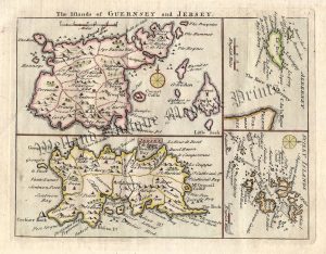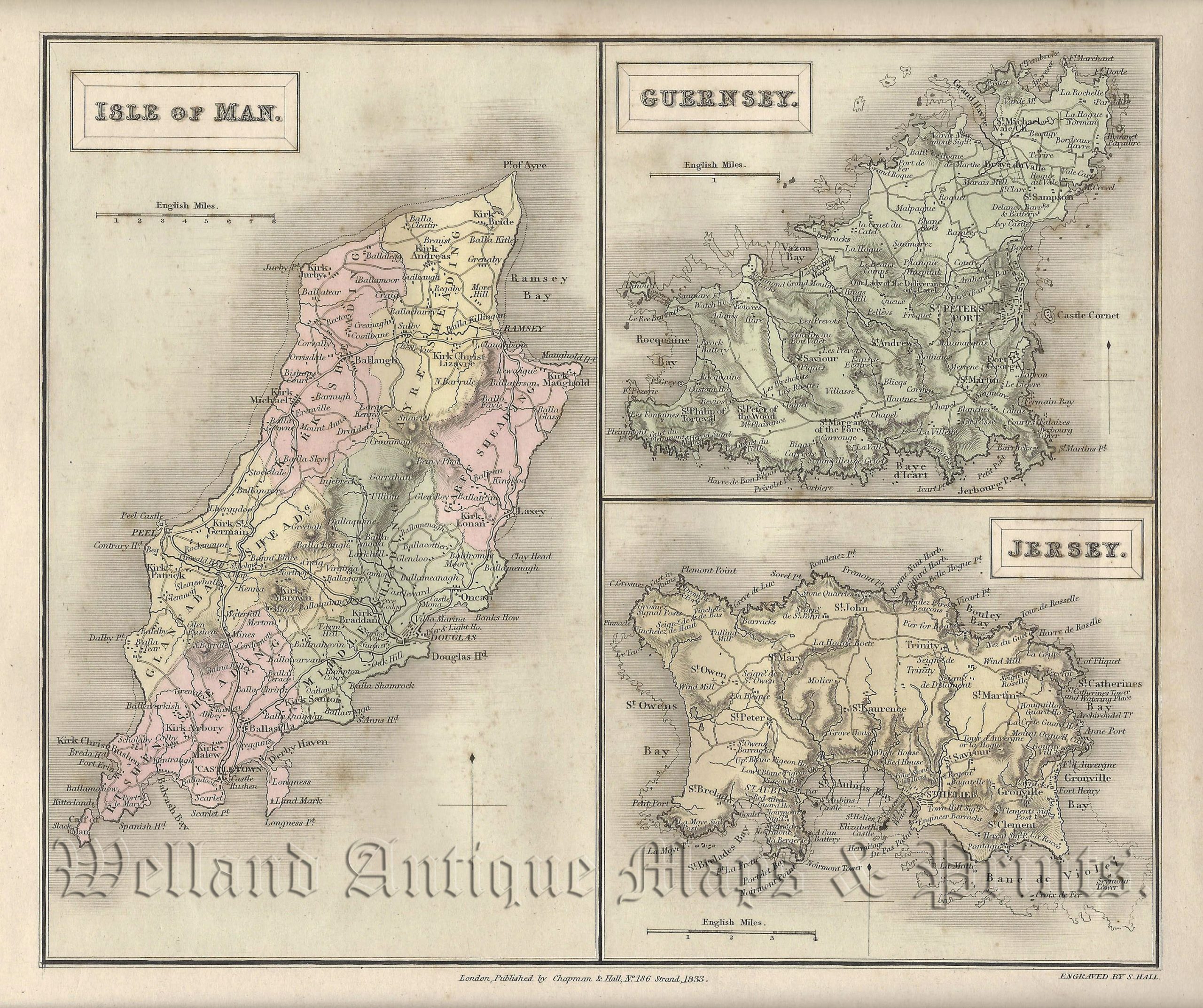
A detailed 19th Century map of the Isle of Man, Guernsey and Jersey — with fine original wash colour — which was engraved by Sydney Hall and published in A New British Atlas (London: Chapman & Hall, 1833/1834). The original pages of text which accompanies the map are included.
Sydney Hall (fl. 1818-1860) was a renowned and prolific map engraver at the time when Britain led the world in map making.
- This is an original steel engraving with fine original hand colour.
- Printed area is approximately 23.6cms by 20cms (including imprint).
- The map is in very good condition with decent margins. A few minor spots. Click on image for better view
- The item comes displayed in a ready to frame museum quality mount.
- Click on ‘Delivery Policy’ for postage costs.
- Guaranteed to be over 180 years old.


![Isle of Man [Untitled] by Cary / Stockdale c.1806](https://www.wellandantiquemaps.co.uk/wp-content/uploads/2023/01/Isle-of-Man-Cary-Stockdale-01-001-copy-300x348.jpg)